AI, satellite pics reveal ocean activities happening out of sight
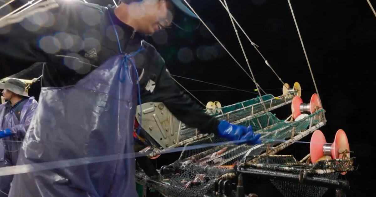
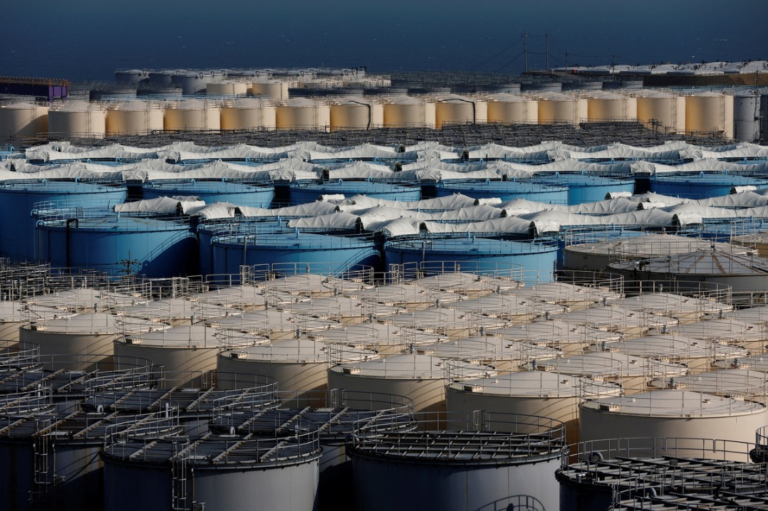
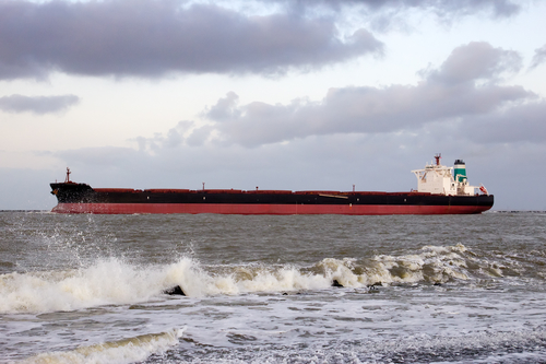
The HinduHumans are racing to harness the ocean’s vast potential to power global economic growth. A newly published study in the journal Nature combines satellite images, vessel GPS data and artificial intelligence to reveal human industrial activities across the ocean over a five-year period. To avoid these problems, some governments require fishing vessels to use proprietary vessel monitoring systems, but the associated vessel location data is usually confidential. Some offshore structures, such as oil platforms and wind turbines, also use AIS to guide service vessels, monitor nearby vessel traffic and improve navigational safety. Remarkably, we found that about 75% of the fishing vessels we detected were missing from public AIS monitoring systems, with much of that activity taking place around Africa and South Asia.
History of this topic
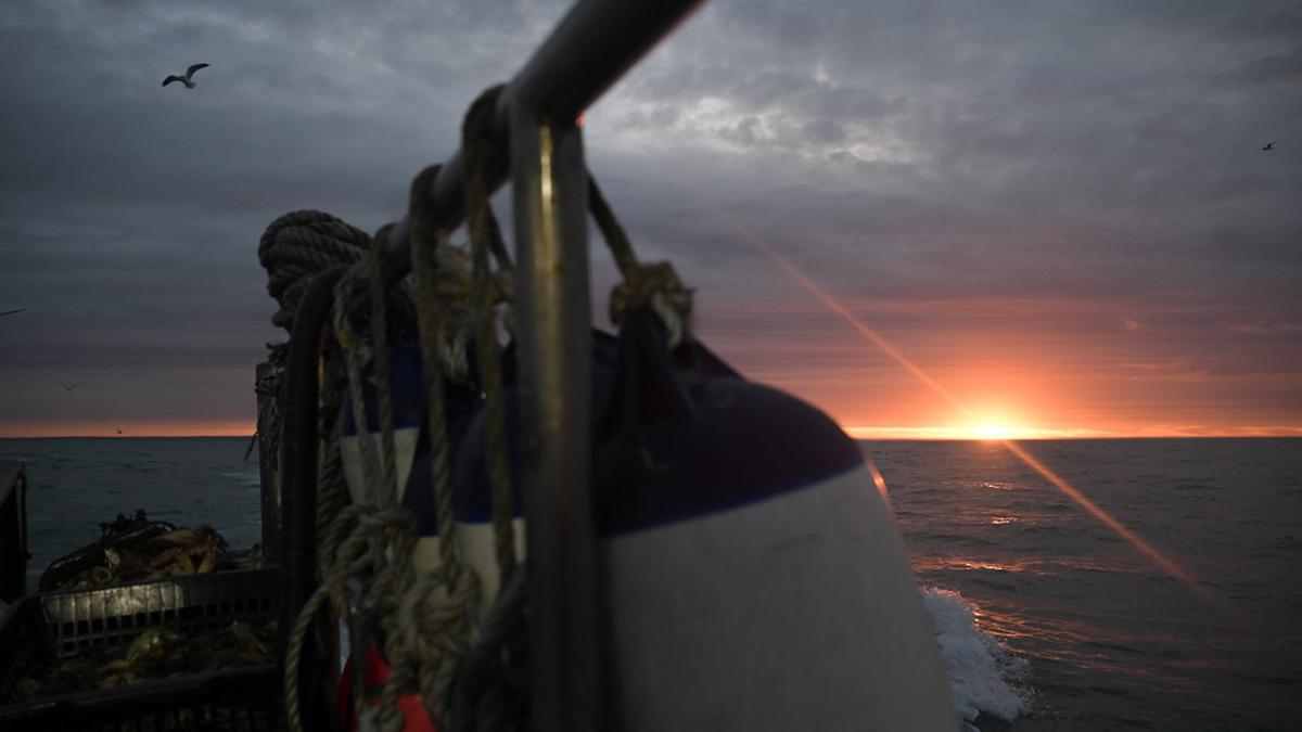
When fishing boats go dark at sea, they’re often committing crimes – we mapped where it happens
The Hindu
Could trawler cams help save world’s dwindling fish stocks?
Associated Press
Could trawler cams help save world’s dwindling fish stocks?
Associated Press
Could trawler cams help save world's dwindling fish stocks?
The IndependentExtra-regional fishing fleets present in Indian Ocean: Navy
The Hindu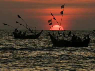)
QUAD to curb China's illegal fishing in Indo-Pacific using satellite tracking
Firstpost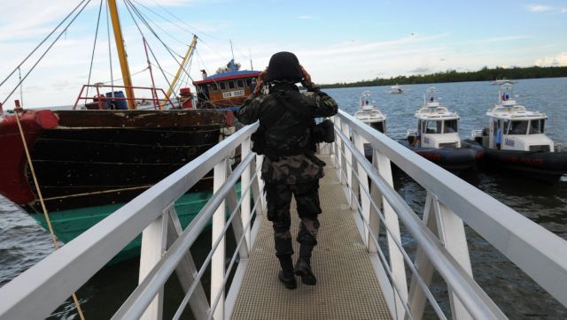)
Explained: Quad’s plan to check China’s illegal fishing and the role India will play
FirstpostChinese gadgets in trawlers trigger a set of issues
The HinduDiscover Related

)











)


