Typhoon Khanun forecast to turn back to Japanese islands where it already caused damage and injuries
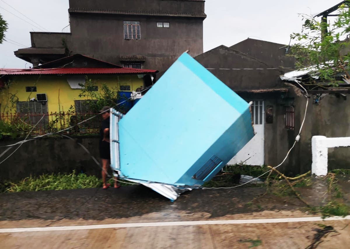
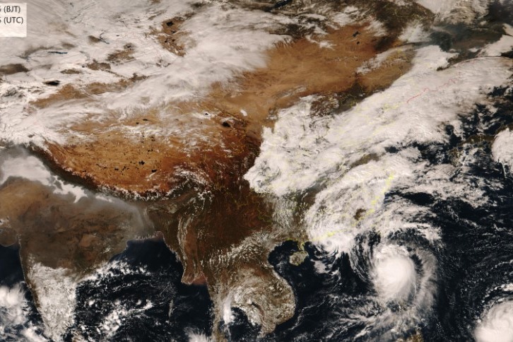
Associated PressTOKYO — The typhoon that damaged homes and knocked out power on Okinawa and other southern Japanese islands this week was slowly moving west Thursday but is forecast to make a U-turn and dump even more rain on the archipelago. Typhoon Khanun, now in the waters between China and Japan’s southwestern islands, is expected to slow to nearly stationary movement before a weakening high pressure system nearby allows it to turn east Friday, the Japan Meteorological Agency said. Though the eye is forecast to stay offshore as the typhoon turns east, winds exceeding 90 kph extended an average radius of 100 kilometers, Taiwan’s Central Weather Bureau said Thursday afternoon. China’s National Meteorological Center said the typhoon was in the East China Sea about 335 kilometers southeast of Yuhuan City on Thursday afternoon and was expected to bring strong wind and rain to the region’s coast within hours. The typhoon’s intensity would gradually weaken as it is expected to turn east toward Japan overnight, the meteorological center said.
History of this topic
Typhoon Kong-rey: Heavy Rain, High Winds Threaten Shanghai and China's Coast
Associated Press
Typhoon bringing heavy rain slowly heads toward Taiwan, where 4,000 have evacuated
The Independent
Typhoon lashes Japan with torrential rain and strong winds on a slow crawl north
The IndependentTyphoon Shanshan begins dumping rain on parts of Japan, leaving 1 dead and several injured
Associated Press
Typhoon Gaemi mapped: Storm heads for China after pounding Taiwan and Philippines
The Independent
Taiwan braces for Typhoon Gaemi after rains create chaos in Philippines
Al Jazeera1 dead, over 300 injured as Typhoon Koinu sweeps parts of Taiwan
The Hindu
Watch: Heavy rain and strong winds batter Taiwan’s Pingtung as Typhoon Koinu set to make landfall
The IndependentKhanun begins blowing into South Korea with strong winds after dumping rain on Japan for a week
Associated Press
Flights and ferries halted in South Korea ahead of storm that's dumped rain on Japan for a week
The IndependentAs Typhoon Khanun makes a U-turn, residents of Okinawa brace for another lashing with wind and rain
Associated PressExtreme rain in Beijing as remnants of Typhoon Doksuri turn roads into rivers, kill at least two
ABC
Typhoon Doksuri heads for China after battering Philippines
Al Jazeera
China, Philippines and Taiwan brace for Super Typhoon Doksuri
Al Jazeera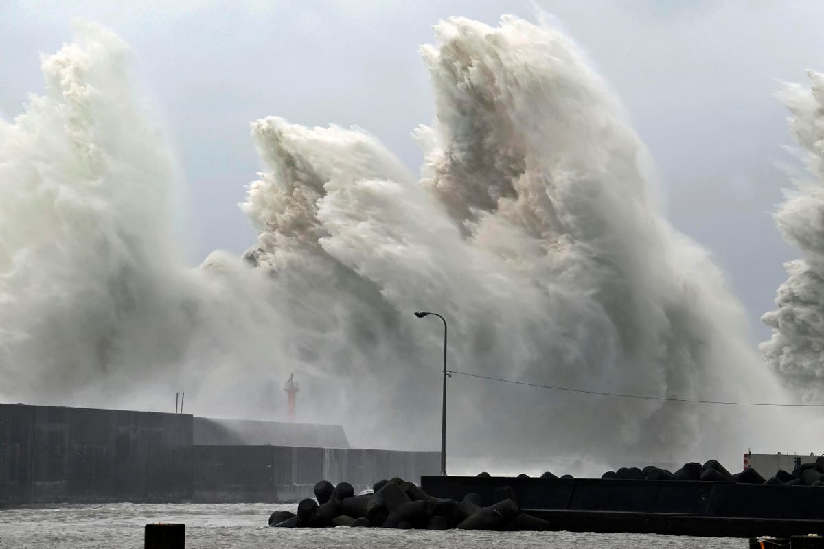
Typhoon Nanmadol lashes Japan with extreme rainfall and high winds
The IndependentJapan, China and South Korea brace for impact as Typhoon Hinnamnor downs trees, cuts power and suspends factory work
ABCDiscover Related


