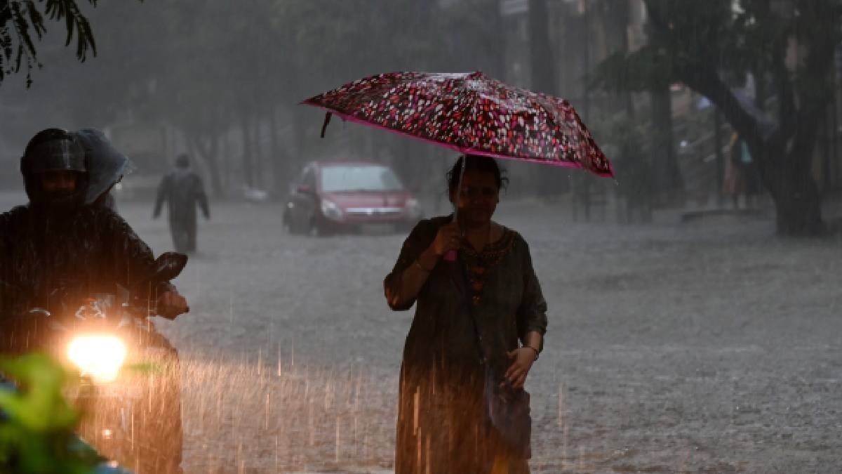
Cyclone Michaung looks ferocious in satellite images from space
India TodayAs Cyclone Michaung barrels into the southeastern coast of India, satellite images from INSAT-3DR's rapid scan have captured the storm's massive scale and intensity. The Indian National Satellite System's advanced meteorological satellite, INSAT-3DR, has been instrumental in monitoring the cyclone, providing vital data to forecasters and disaster management authorities. The latest images reveal the cyclone's eye wall and the dense spiral bands of thunderstorms surrounding it, indicating the system's strength as it made its approach towards land. With wind speeds reaching up to 100 kilometers per hour and even higher gusts, the cyclone has intensified into a severe storm, unleashing heavy rains, strong winds, and potential flash floods across the coastal regions of Tamil Nadu and Andhra Pradesh.
History of this topic

Tamil Nadu weather update: IMD predicts thunderstorms, heavy rains due to Cyclone Fengal | Key details
India TV News
Cyclone Fengal highlights: Storm to landfall on TN coast tomorrow; red alert issued
Hindustan Times
Cyclone Fengal: Deep depression heads to Puducherry coast, schools remain shut
India Today
IMD warns of heavy rain in south India as Cyclone Fengal on the way
Live Mint
Isro satellites watch Cyclone Fengal approaching Tamil Nadu from space
India Today
Cyclone Fengal Developing In Bay of Bengal, IMD Issues Heavy Rainfall Alert To Tamil Nadu
ABP News
IMD issues cyclone alert in Bay of Bengal; Tamil Nadu, Andhra brace for heavy rainfall
Hindustan Times
Developing cyclone in Bay of Bengal may bring heavy rain to Tamil Nadu, Andhra
India Today
Cyclone Dana upgraded to ‘very severe storm’; Puri, Cuttack, Hooghly, Kolkata on ‘Red Alert’. Full IMD forecast here
Live Mint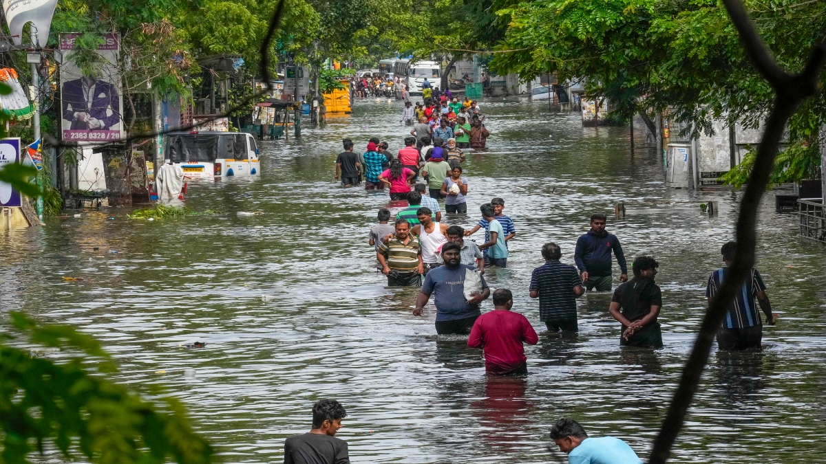
Cyclone Michaung: Tamil Nadu CM Stalin holds review meeting with ministers to assess damage
India TV News
Cyclone Michaung aftermath: People face shortage of basic necessities in Chennai
India TV News
Cyclone Michaung | Union Defence Minister Rajnath Singh to visit Chennai on December 7
The Hindu
How Cyclone Michaung formed, intensified, rained, and dissipated | Explained
The Hindu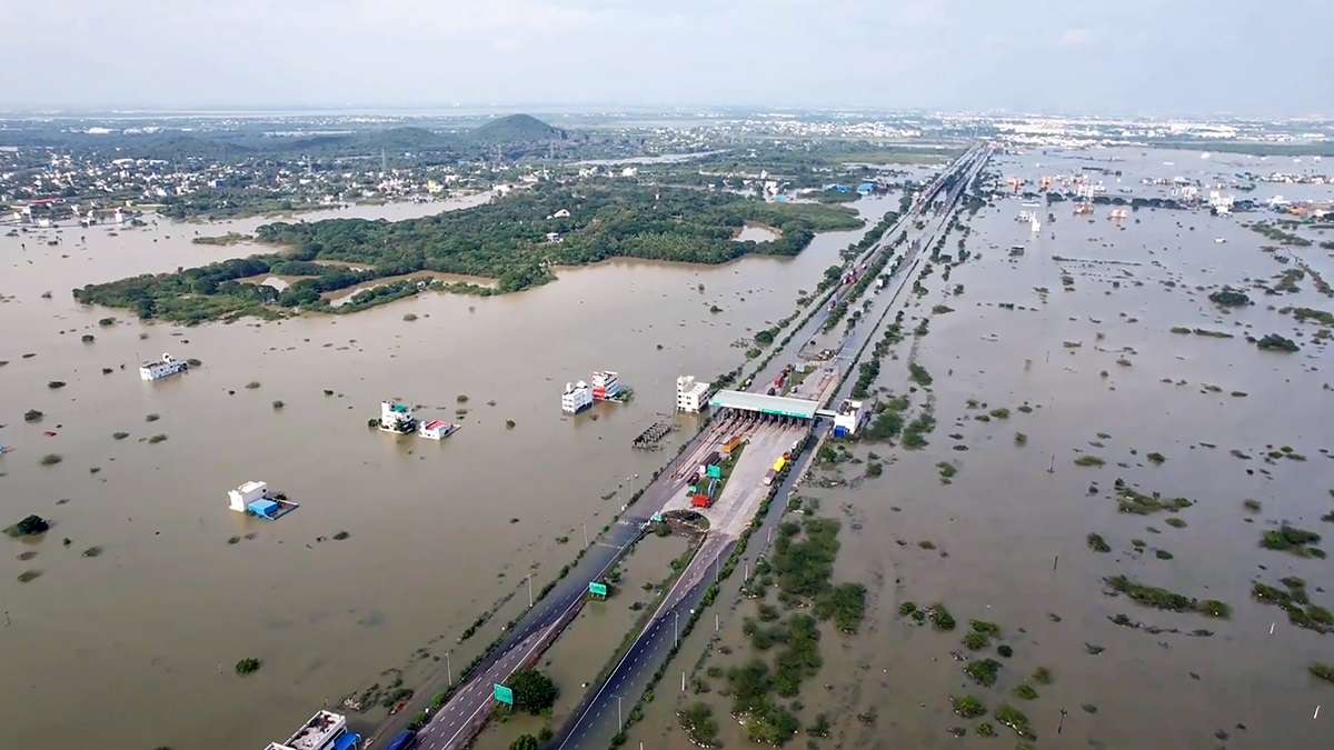
Defence Minister Rajnath Singh to conduct aerial survey of flood-hit Tamil Nadu in wake of cyclone Michaung
India TV News
Cyclone Michaung weakens into deep depression, six dead in Greater Chennai, rain alert in Odisha
India TV NewsSevere cyclone Michaung makes landfall in Andhra Pradesh, wreaks havoc
The Hindu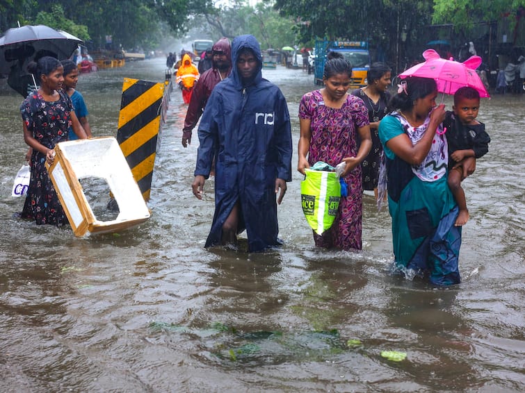
Cyclone Michaung Chennai To Get Some Respite From Cyclone Michaung Destruction As IMD Predicts Light Rainfall
ABP News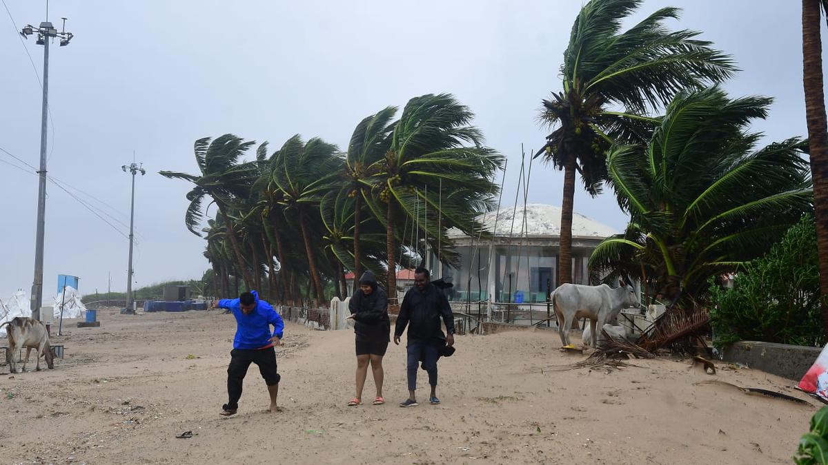
Cyclone Michaung In Pictures | Eye of the storm close to Bapatla in A.P.; Rains stop in Chennai but roads remain flooded
The Hindu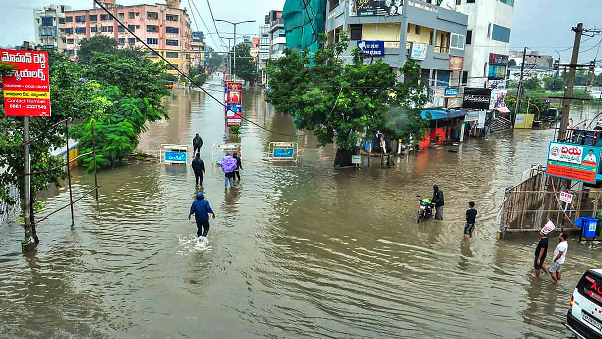
Cyclone Michaung to make landfall close to Bapatla before 12 noon
The Hindu
Cyclone Michaung Landfall In Andhra Shortly today State On High Alert windspeed 100kmph Rainfall Subsides In Chennai 5 Updates
ABP News
Cyclone Michaung effect: Light rain in parts of Chhattisgarh
India TV News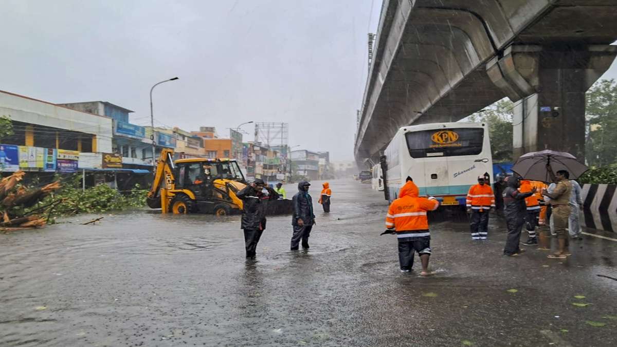
Cyclone Michaung makes landfall; Chennai suffers power cuts, severe waterlogging: Key points
India TV News
Cyclone Michaung: Amit Shah Assures Tamil Nadu, AP, Puducherry CMs Of All Help
Deccan Chronicle
Cyclone ‘Michaung’: Tamil Nadu govt shuts schools; 70 flights, 60 trains cancelled
Hindustan Times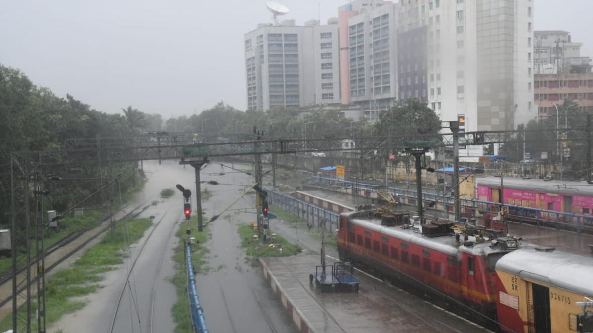
Cyclone Michaung in pictures | Floods, heavy rain and strong winds take over Chennai
The Hindu
Cyclone Michaung highlights: Storm likely to make landfall in AP's Bapatla, officials on high alert
Hindustan TimesCyclone Michaung | IMD issues red alert for a few districts in Andhra Pradesh
The Hindu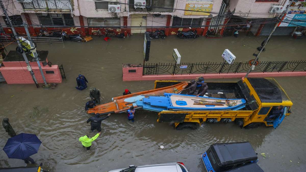
Cyclone Michaung: Public holiday declared in four districts of Tamil Nadu today
India TV News
Cyclone Michaung nears TN, triggers heavy rainfall
Hindustan Times
Cyclone Michaung | Coastal Tamil Nadu braces for heavy rain as Andhra Pradesh gears up for landfall
The Hindu
Cyclone Michaung: Schools, colleges in several Tamil Nadu districts to remain closed on December 4. Check list
India TV News
Cyclone 'Michaung' likely to form over Bay of Bengal in next 48 hours, alerts IMD
India TV News
Severe Cyclonic Storm Likely Over Bay of Bengal
Deccan ChronicleDiscover Related


