Mapping the Damage in Altadena and Pacific Palisades
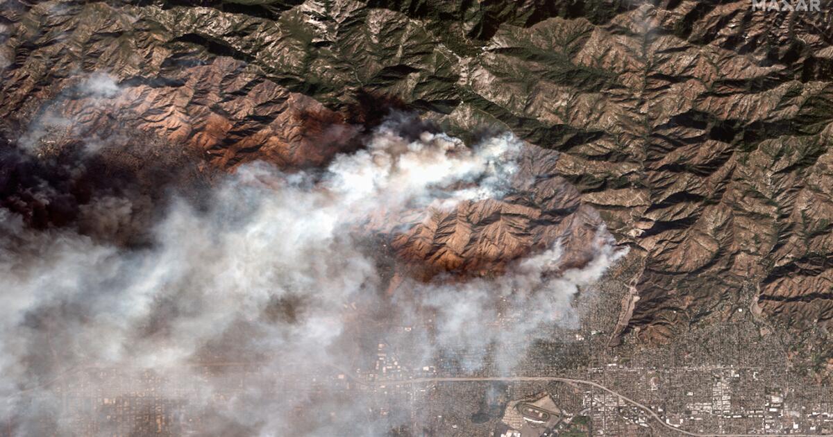
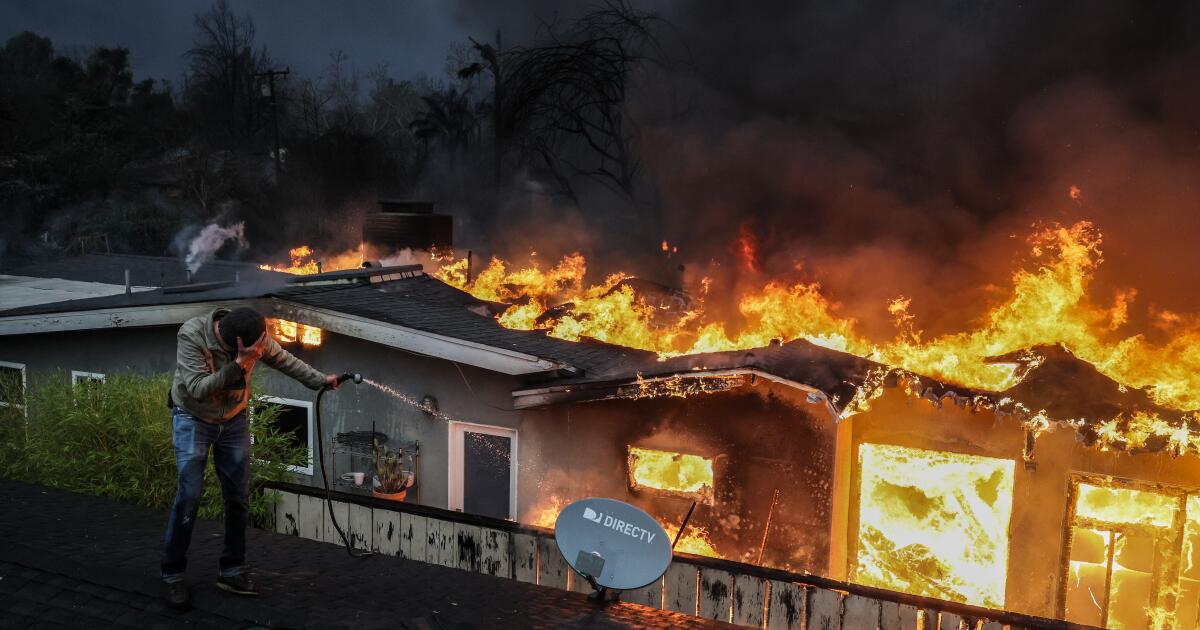
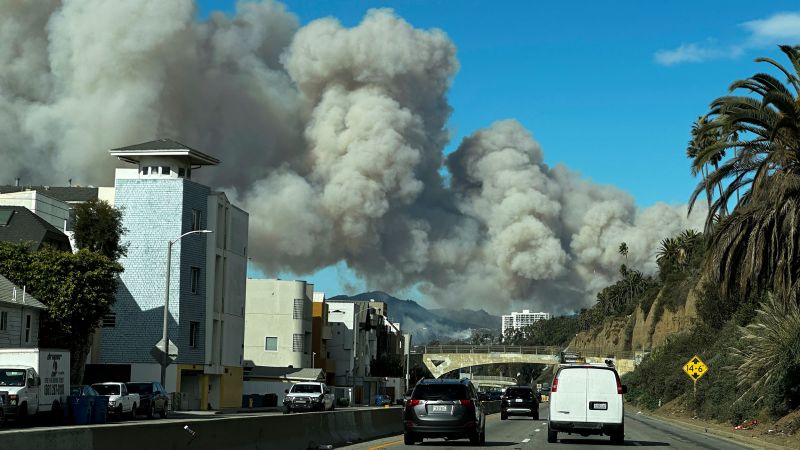
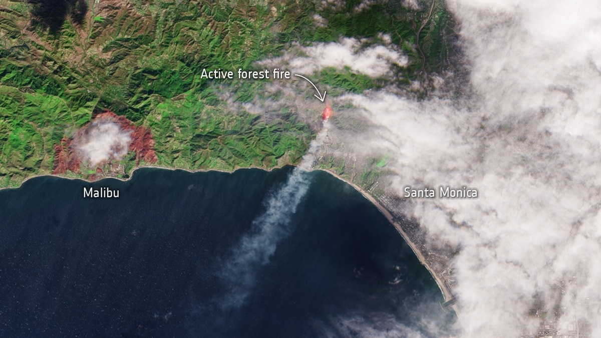
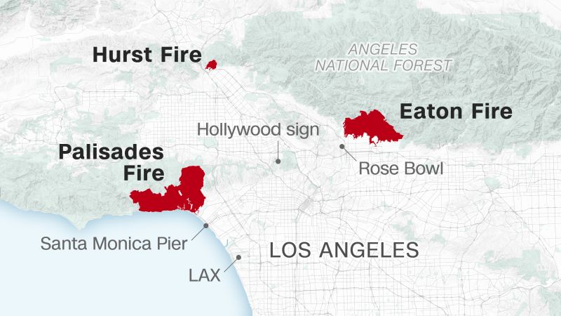
New York TimesMapping the Damage in Altadena and Pacific Palisades More than 6,500 buildings may have been damaged or destroyed by the Eaton fire, which swept through neighborhoods in Altadena and Pasadena, new analysis of satellite data shows. Damaged or destroyed buildings Extent of Eaton fire L.A. County Area of detail Loma Alta Dr. West Altadena Dr. Lincoln Ave. ALTADENA Fair Oaks Ave. East Woodbury Rd. Damaged or destroyed buildings Extent of Palisades fire L.A. County Area of detail Pacific Palisades 27 Santa Monica Mountains The Getty Villa Big Rock Pacific Coast Hwy. L.A. County Area of detail Pacific Palisades The Getty Villa Santa Monica Bay ½ mile L.A. County Santa Monica Mountains Area of detail Big Rock Pacific Coast Hwy. Pacific Palisades Pacific Palisades The Getty Villa Santa Monica Bay 1 mile Source: Damage estimate analysis of Copernicus Sentinel-1 satellite data by Corey Scher of CUNY Graduate Center and Jamon Van Den Hoek of Oregon State University.
Discover Related


