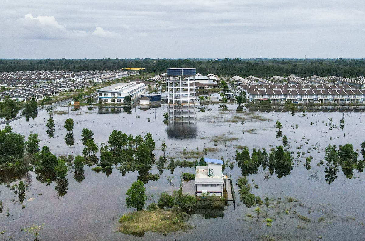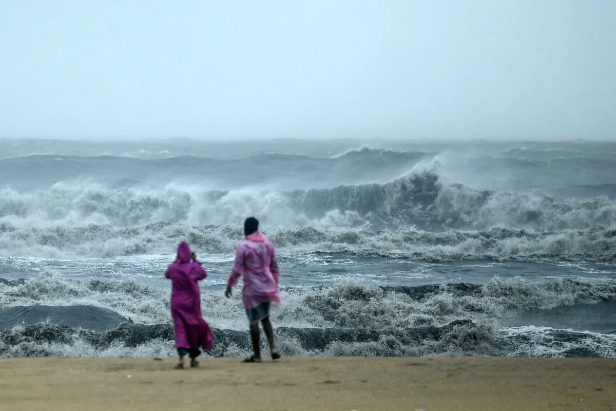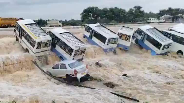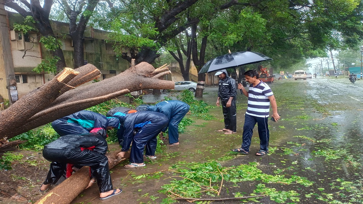
Satellite images show how floods ravaged Assam and Bangladesh
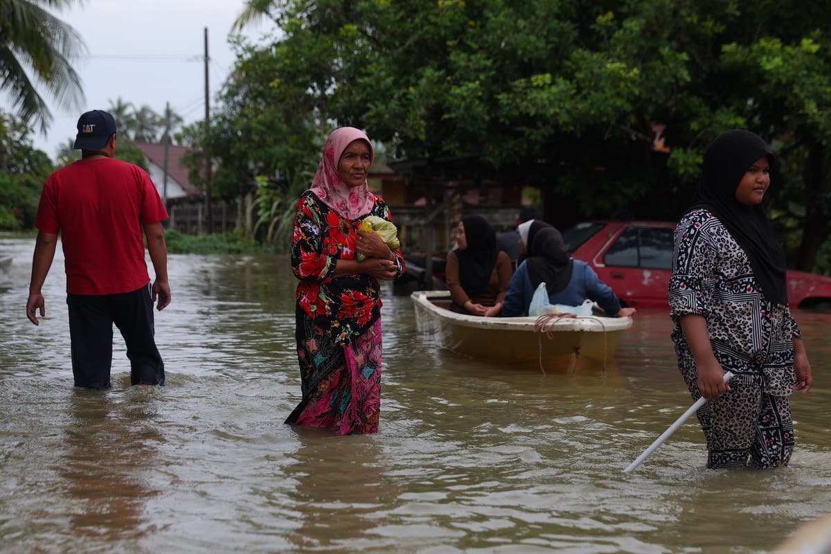
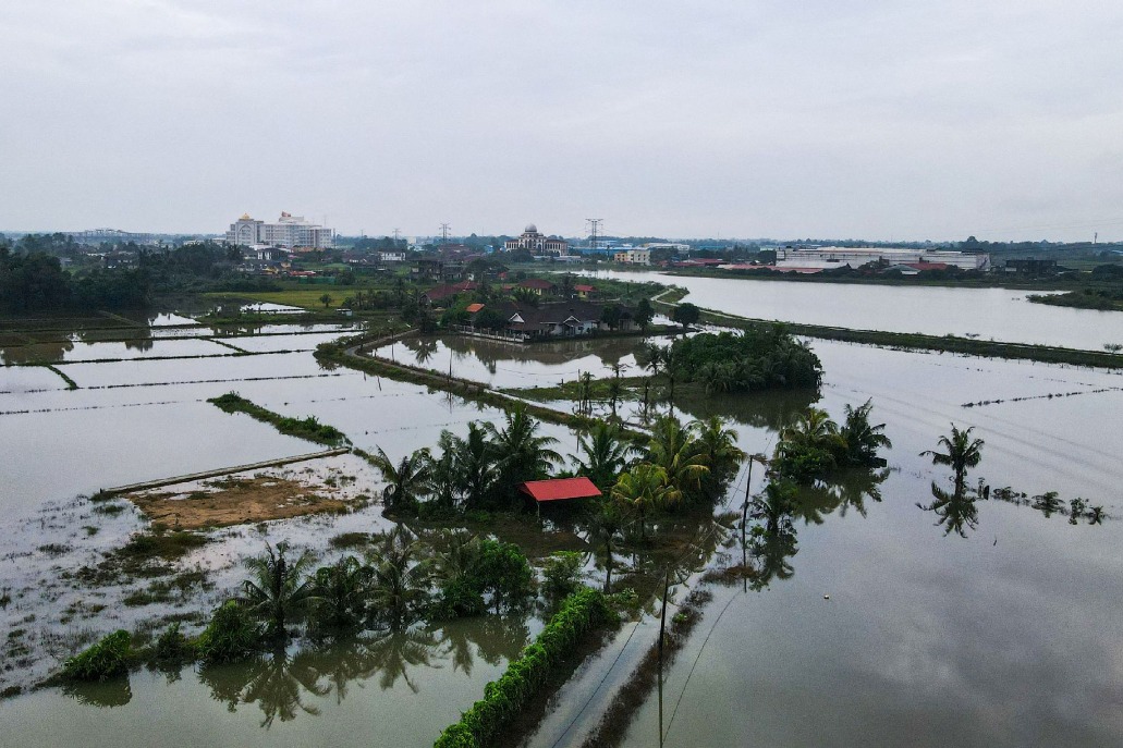
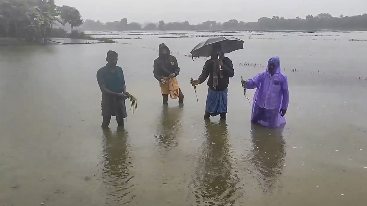
India TodayContinued impact of floods in many parts of India, following a season of relentless rainfall, and landslides has claimed many lives and displaced over four lakh people. A panoramic view of the Sentinel 1A SAR images of the Brahmaputra river extracted from Copernicus services - generated using an active system of recording microwave signals from the earth surface - shows a deeper deluge in contrast to the SAR image captured in May. These false-colour images when joined together, show an extended stretch of the Brahmaputra river, which rolls across northeastern India en route to Bangladesh. Satellite images from the area near Mayong village in Assam show that the scanty river in June has now inflated to blanket an area over 17 kilometres across its floodplains. As per the Dhaka Times, the country has received 35.9 per cent excess rainfall than normal, in the month of August, causing short-term flooding in the river banks.
History of this topic
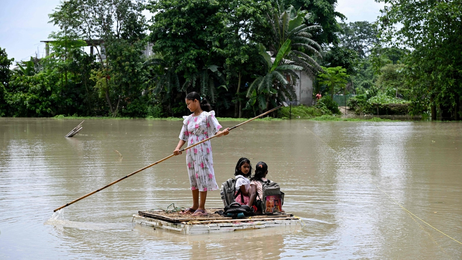
Assam floods: Brahmaputra above danger mark, CM Himanta says water receding
Hindustan Times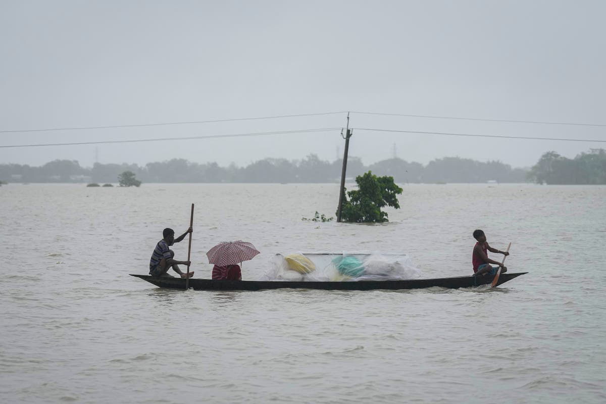
Floods and landslides triggered by heavy rains in India's northeast kill at least 16 people
The Independent
Assam flood: Brahmaputra swells; 1.05 lakh affected amid heavy rain warning
Hindustan Times
Uttarakhand rain updates: IMD forecasts intense rains for next three days
Live Mint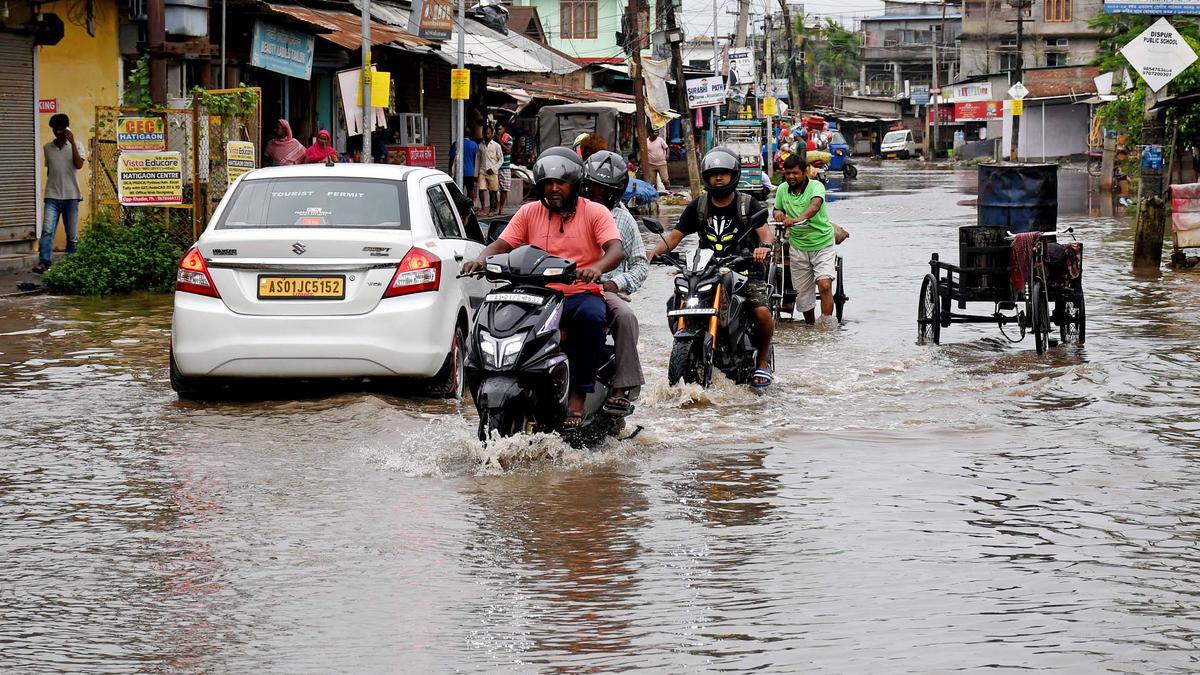
Incessant rain creates flooding in several parts of Assam; nearly 33,500 people hit
The Hindu)
Brahmaputra's water level rises in Assam's Dibrugarh due to incessant heavy rainfall
Firstpost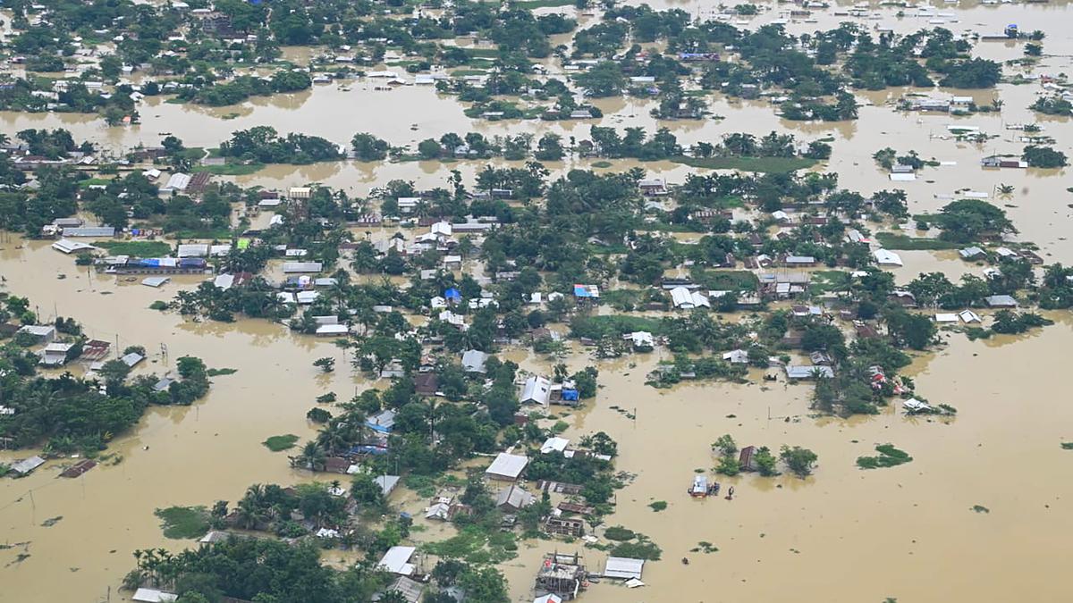
Explained | Assam’s annual tryst with devastating floods
The Hindu
NE floods: Climate is not the only villain
Hindustan Times
Climate change a factor in ‘unprecedented’ South Asia floods
Associated Press
AP PHOTOS: India, Bangladesh floods destroy homes, lives
Associated Press)
ISRO Releases First Images of Glacier Burst at Raini, Tapovan as Toll Rises to 32 in Uttarakhand
News 18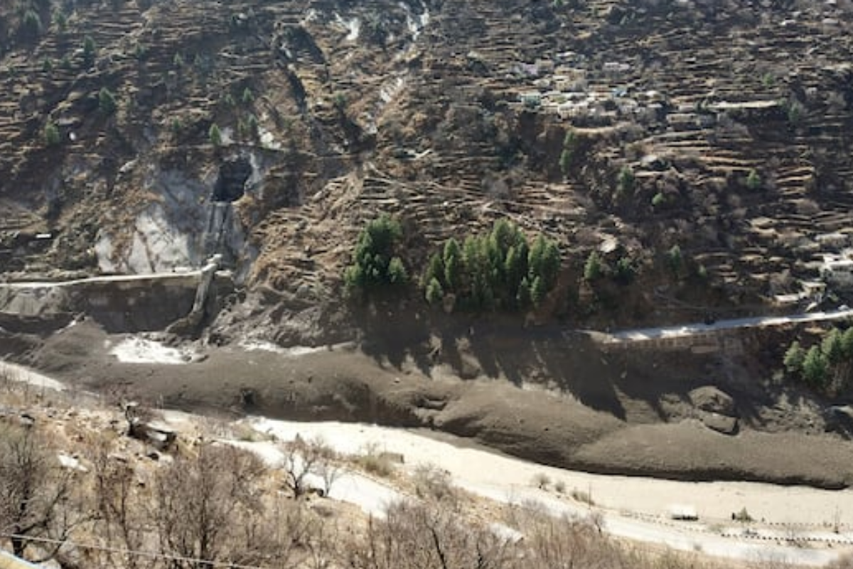)
Warning System, Glacier Studies: Glaciologists Suggest Ways to Address Uttarakhand-like Tragedies
News 18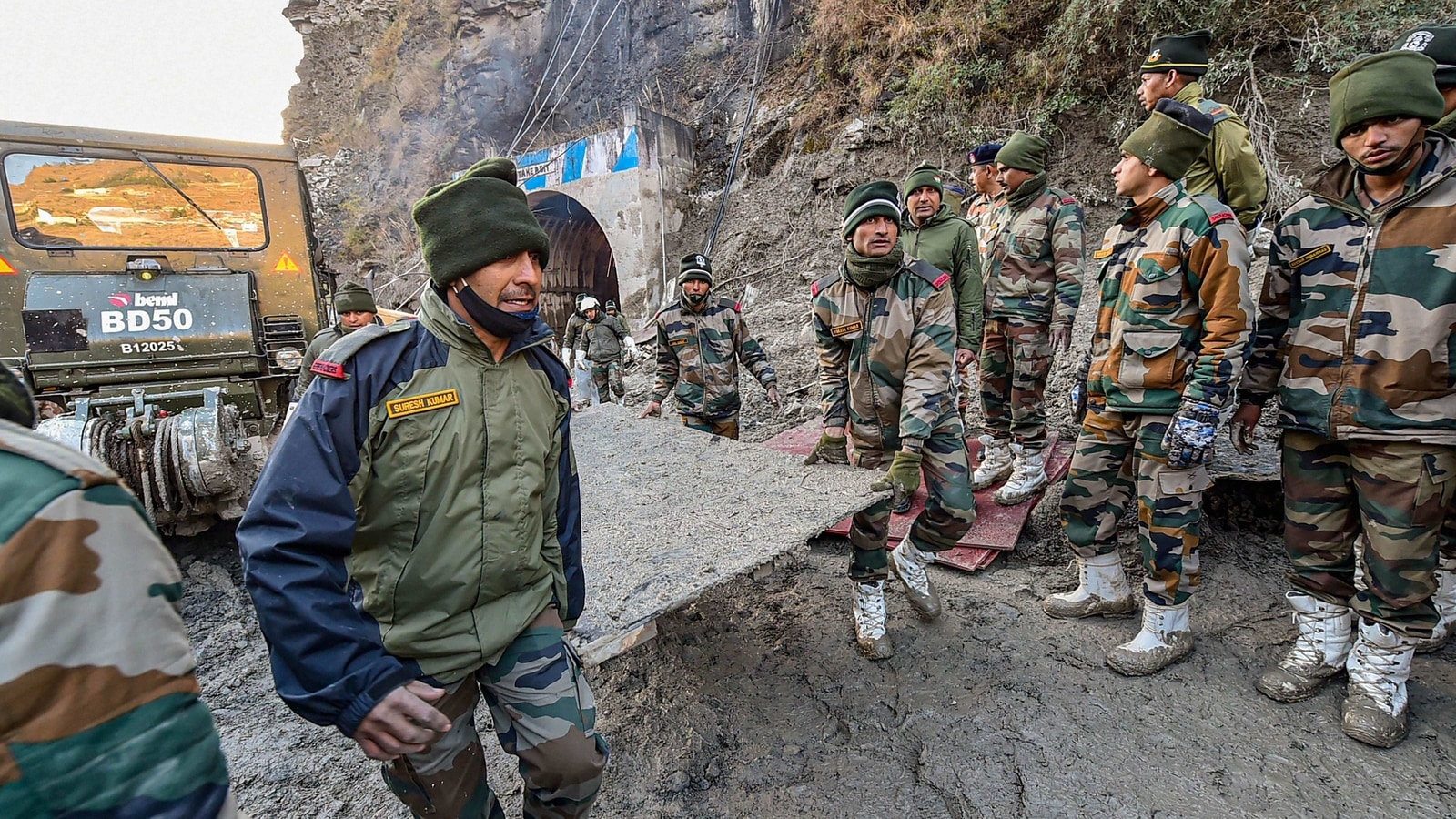
Expert team to assess Uttarakhand glacial burst using satellite images: Official
Hindustan TimesDiscover Related

