Earthquake in Turkey and Syria: How satellites can help rescue efforts
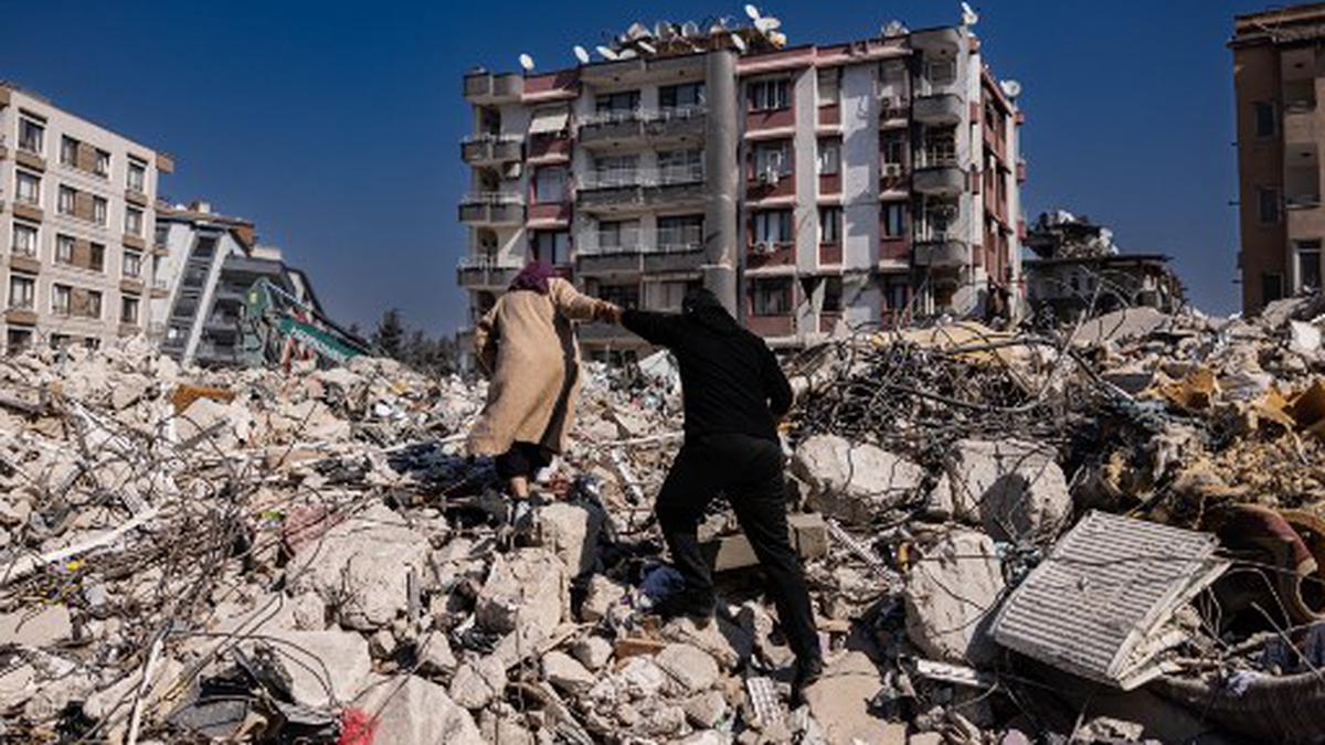
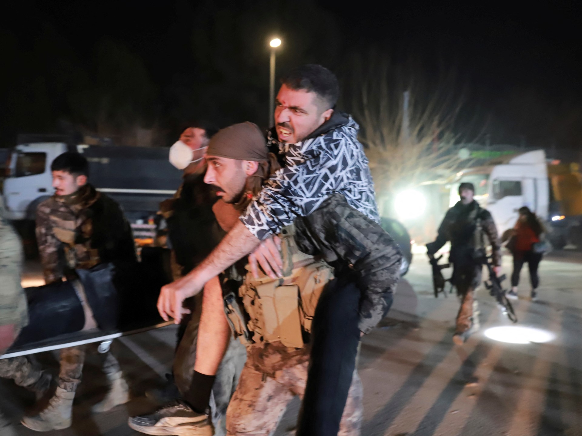
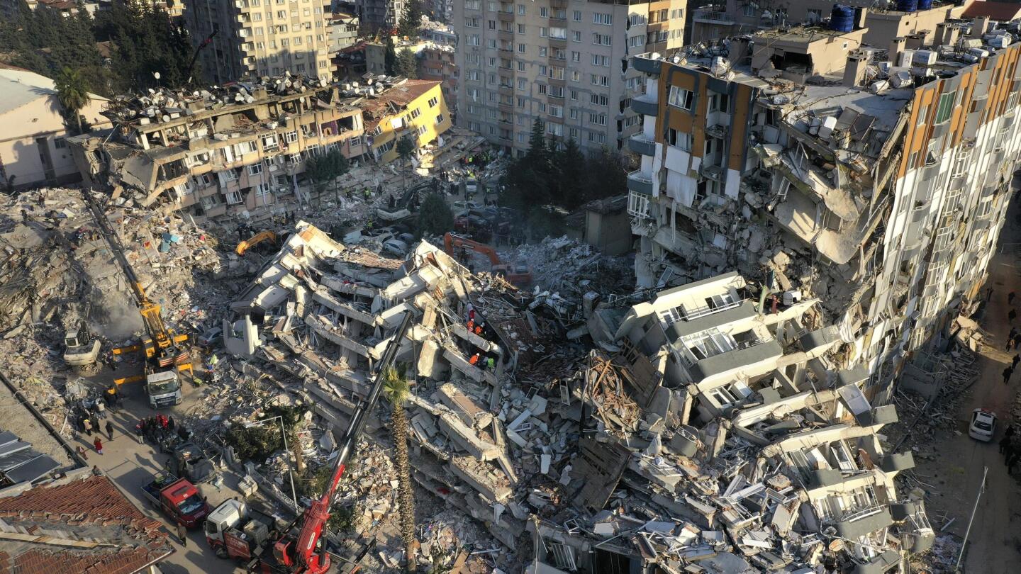
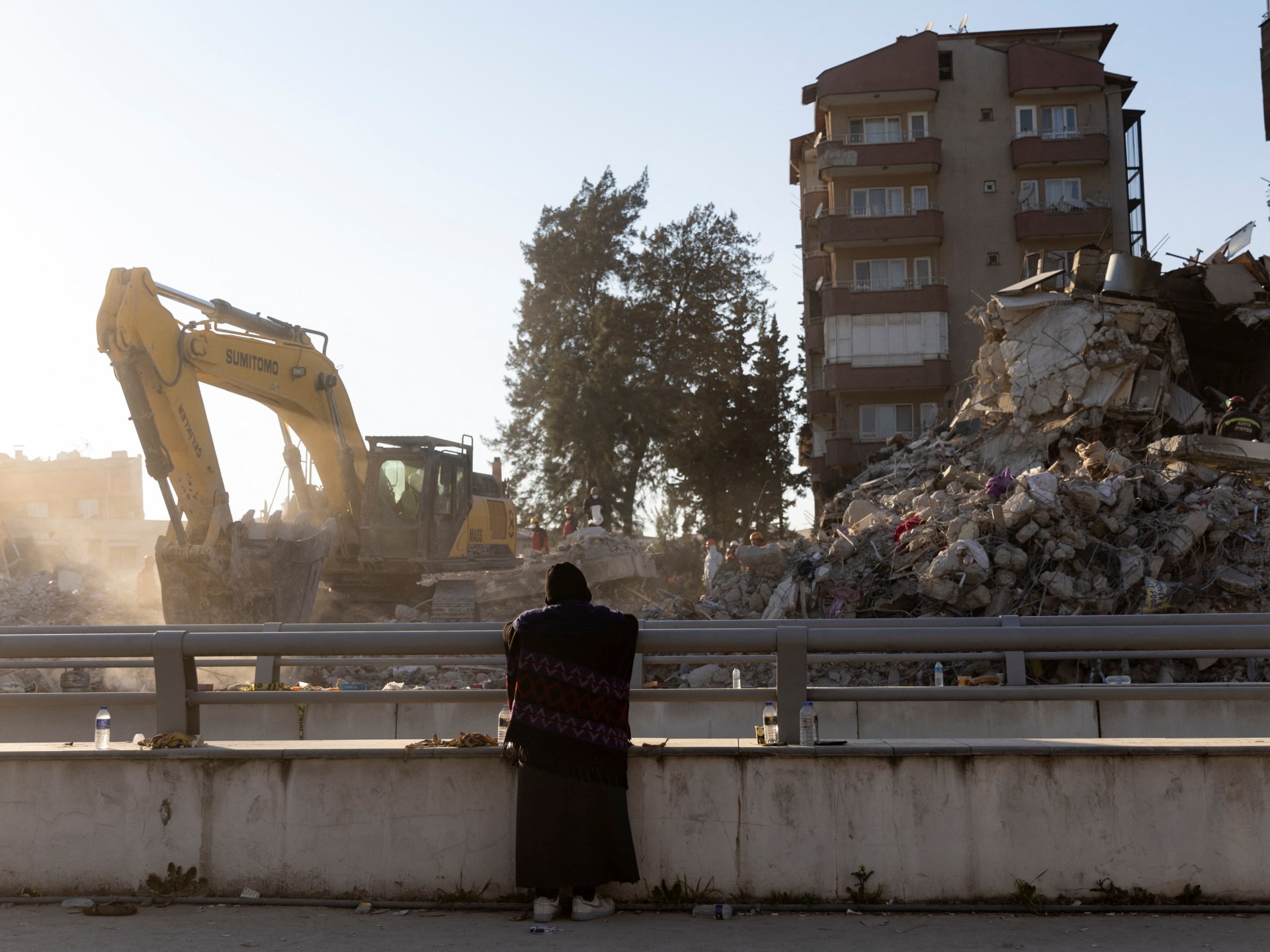
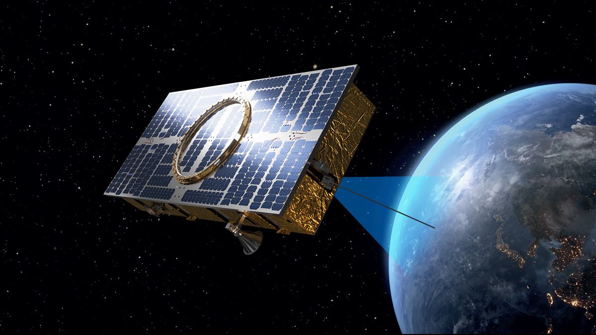
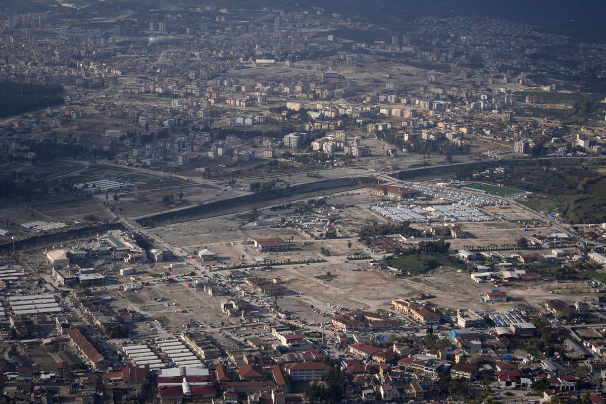
The HinduIn disasters like the 7.8 magnitude earthquake and 7.5-magnitude aftershock that struck Syria and Turkey on February 6, 2023, international cooperation on satellite imaging plays a crucial role in the rescue and recovery efforts. To quickly turn the eyes of satellites toward the affected areas, the Turkish Disaster and Emergency Management Authority requested the activation of the international charter on "Space and Major Disasters" at 7:04 a.m. local time. Anatomy of a disaster The international charter on "Space and Major Disasters" defines a disaster as a large-scale, sudden, unique and uncontrolled event, resulting in loss of life or damage to property and the environment, and requiring urgent action to acquire and provide data. Satellite data in response to crises around the world As soon as a disaster occurs, satellites are programmed to quickly acquire images over the affected areas.
History of this topic

How mapping tech, satellite imagery came to the rescue in quake-hit Turkey, Syria
India Today
How NASA is helping in rescue operations in earthquake-hit Turkey and Syria
Hindustan Times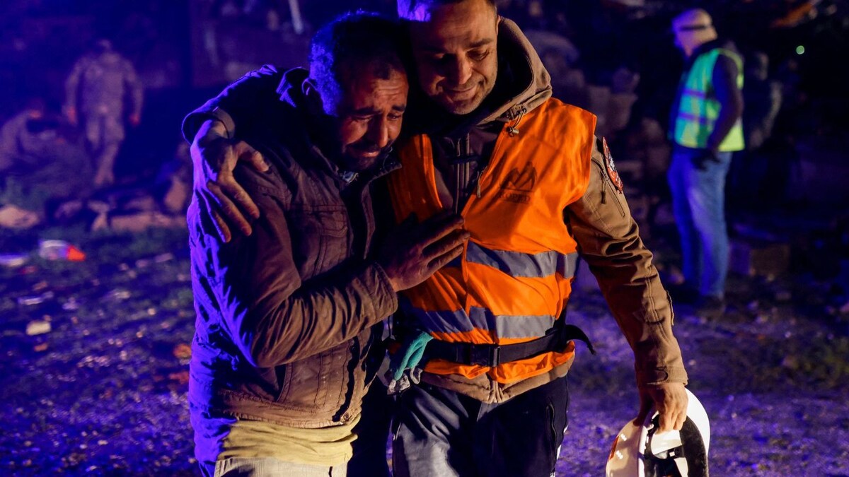
Turkey, Syria Earthquake: These Rescue Videos Instill Hope Amidst The Deadliest of Times
News 18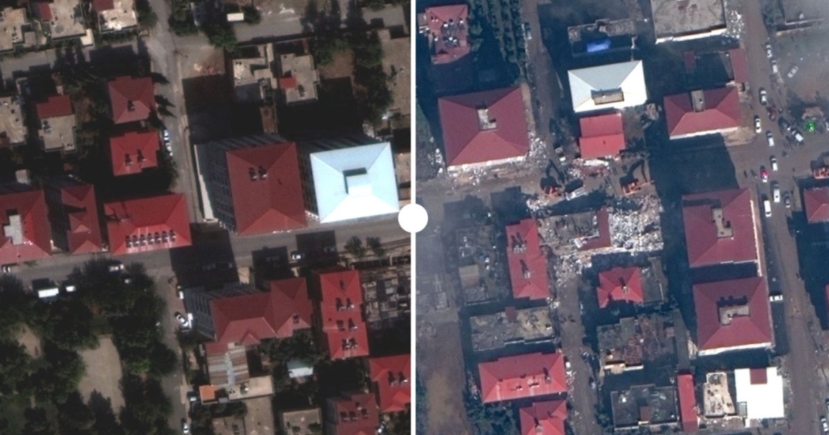
Satellite images show scale of destruction in Turkey-Syria quakes
Al Jazeera)
Turkey, Syria earthquake: How satellites can aid in rescue operations
Firstpost
Watch: Buildings collapse as 3 massive earthquake hits Turkey
Live Mint
Turkey Earthquake: India sends earthquake relief material. Here are top updates
Live Mint
Videos reveal extent of Turkey, Syria earthquake devastation
Al Jazeera
Turkey-Syria quake day two: What do we know so far?
Al Jazeera
Photos: Rescue efforts continue after deadly quake in Turkey and Syria
NPRDiscover Related







)


)
