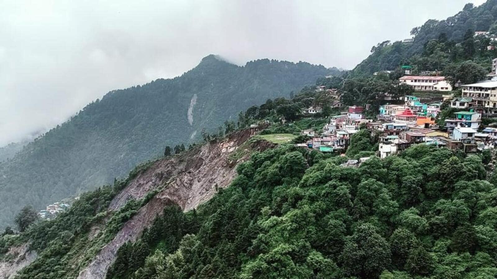
‘Living in constant fear’: A cliff that creeps closer to homes in Nainital
Hindustan TimesThe trepidation is now routine. An analysis carried out by the National Institute of Hydrology showed that this water is not from the Naini Lake, but from within the hills itself.” Vishal Singh, executive director, Centre for Ecology, Development and Research, Dehradun said that though the Nainital area falls in Zone IV of the Earthquake Zoning Map of India, geological disturbances have been further aggravated by increasing population and concretization. “After 1880, the British developed a 79km drain network on the hill slopes around Nainital to make them stable and divided Nainital into safe and prohibited zones for construction,” he said. Pant said that a fault line called the Nainital Lake Fault runs beneath the lake, through Naina Chungi, Naini Lake, Baliyanala, up to Ranibagh and Kathgodam, rendering the entire area vulnerable to tectonic activity. Over four years ago, IIT Roorkee conducted a study on the vulnerability of the slopes and roads around Nainital Lake, especially the section of the Mall Road adjoining it.
History of this topic

Fragile Nainital: Hillside survey planned after landslide, house collapse
Hindustan TimesDiscover Related









)
)


)