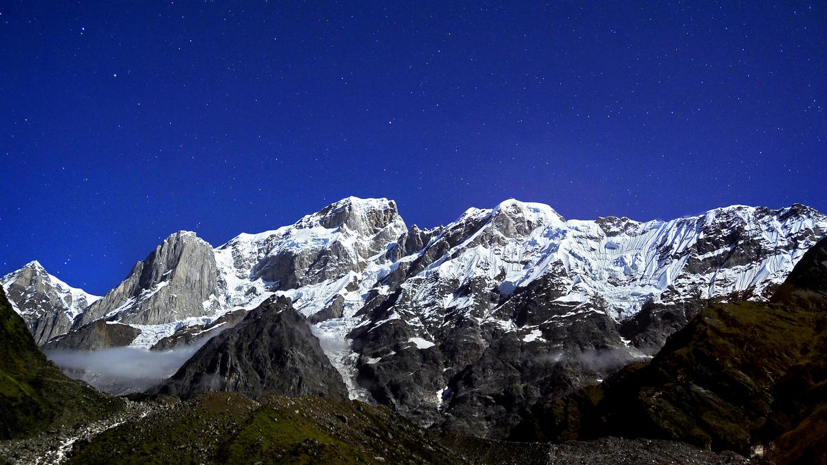
ISRO-NASA satellite NISAR to map Himalayas’ seismic zones
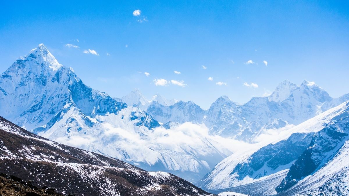
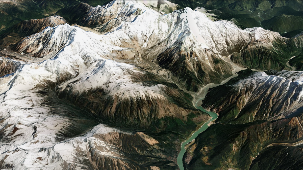
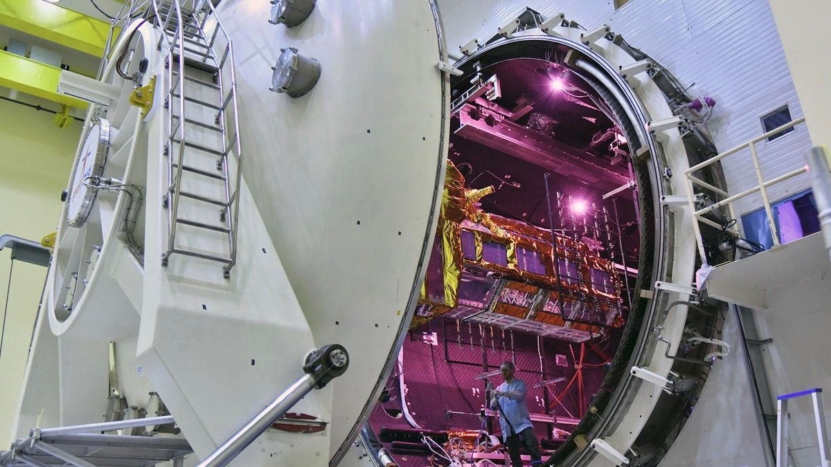
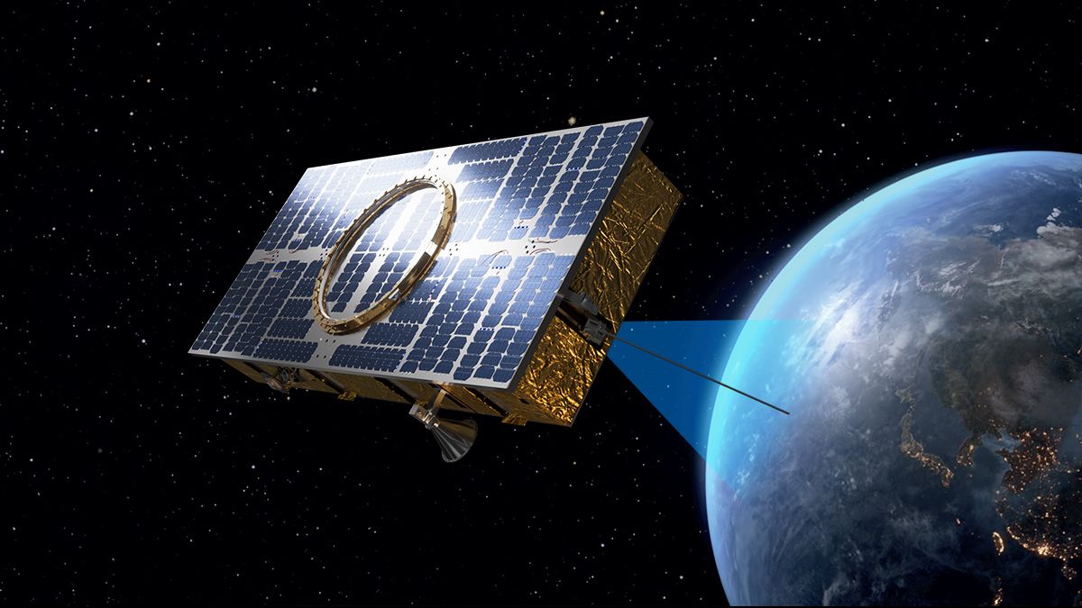
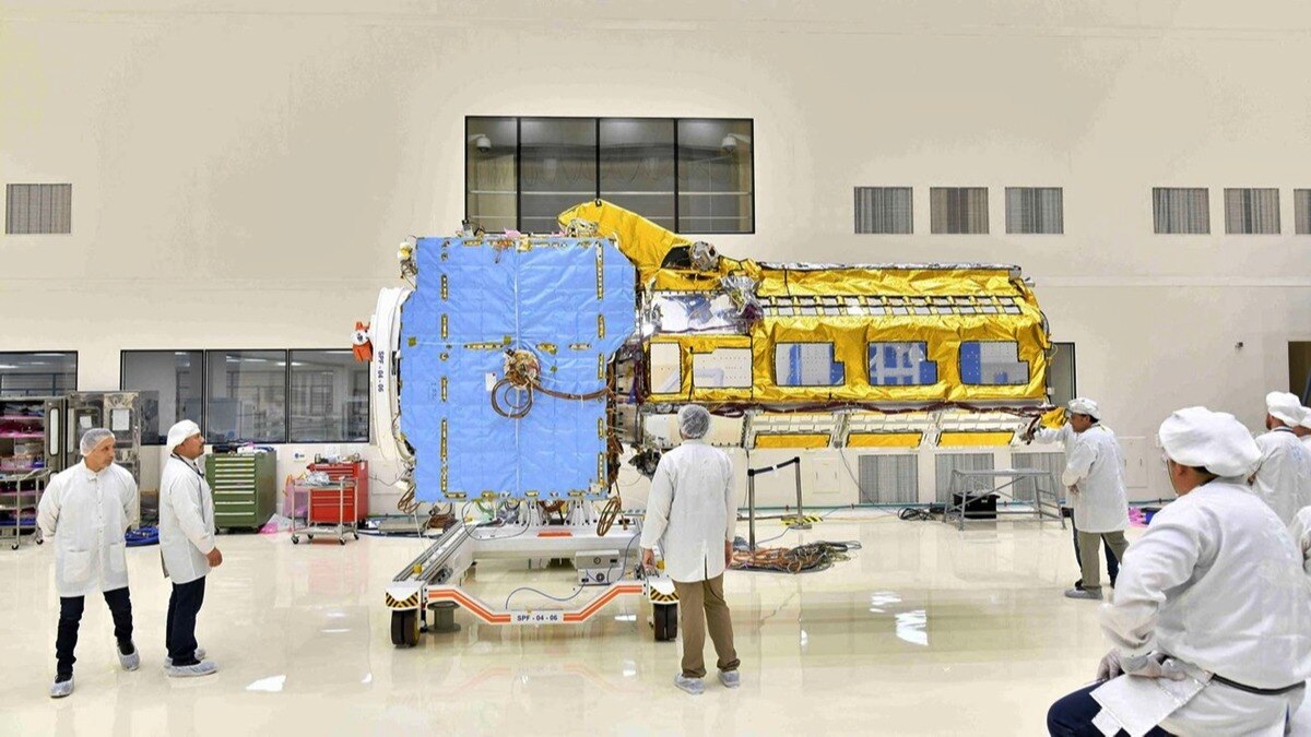
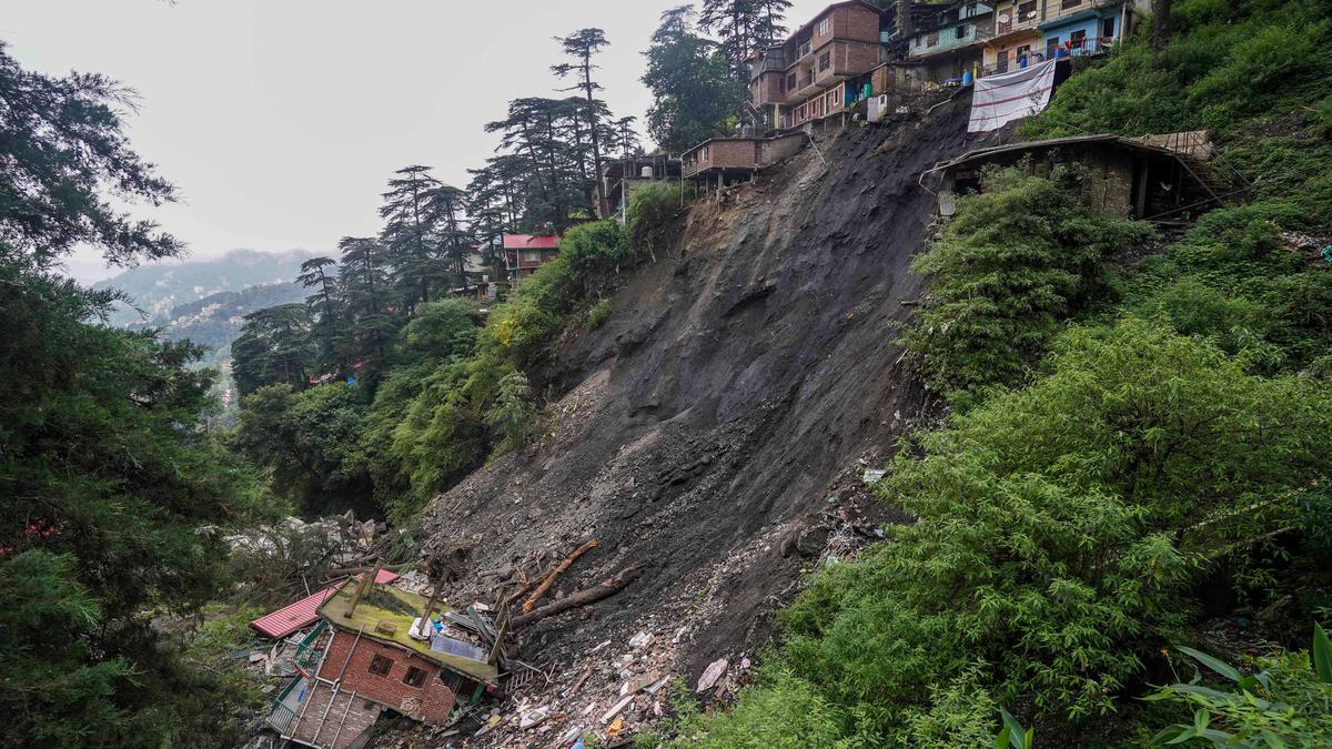
The HinduA forthcoming satellite, NISAR, jointly developed by the Indian Space Research Organisation and the National Aeronautics and Space Administration of the U.S. will map the most earthquake-prone regions in the Himalayas with unprecedented regularity. The NISAR satellite, expected to cost approximately $900 million will use two frequency bands: the L-band and S-band to image the seismically active Himalayan region that will, every 12 days, create a “deformation map”, said Prakash Chauhan, Director, ISRO-National Remote Sensing Centre at a seminar here this week. “ These many stations are still too few and there’s only one satellite that we rely on…with NISAR, the costliest space mission ever, we can have a game-changer in earth-science observation,” said Dr. Chauhan. “With a frequency of 12 days and the ability to be able to provide images even under cloudy conditions, NISAR would be a valuable tool to study deformation patterns, such as in Joshimath,” he added.
History of this topic
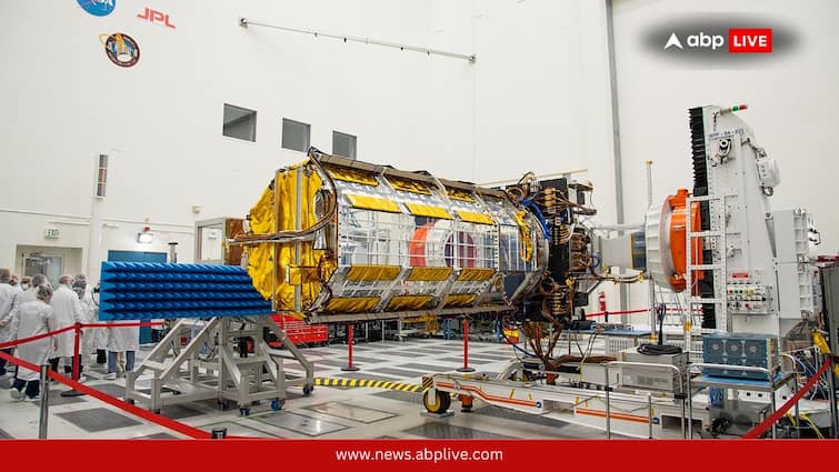
What Is The Science Behind NISAR? How NASA-ISRO Project Will Monitor Earth Like Never Before
ABP News)
ISRO, NASA's NISAR satellite to get ready by Jan-end, will monitor Earth's snow-covered regions
Firstpost
ISRO receives Indo-US jointly developed NISAR satellite
Deccan Chronicle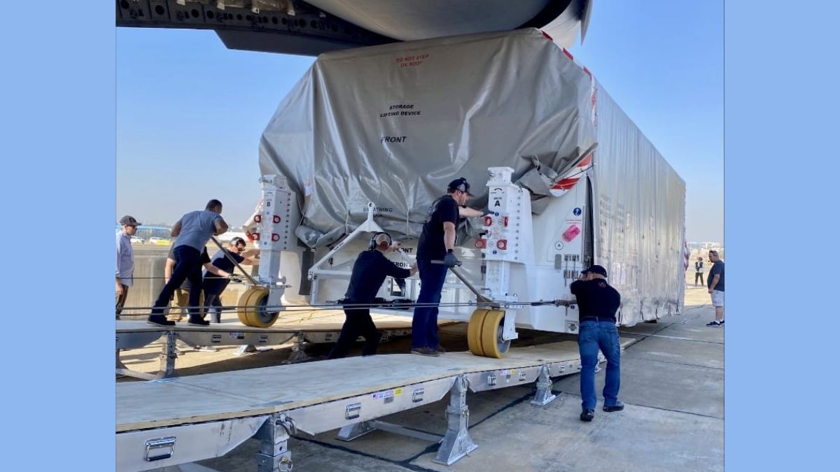
NISAR: All about the earth observation satellite jointly developed by NASA, ISRO
India TV News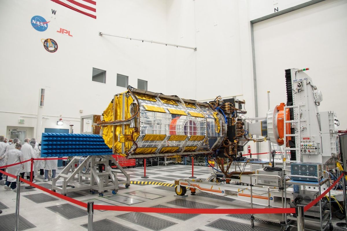)
NISAR Satellite Lands in India, ISRO to Launch Joint Indo-US Space Mission in Early 2024
News 18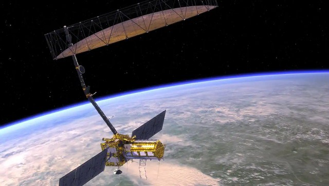)
What is NISAR, the NASA-ISRO satellite that will help scientists better understand climate change?
Firstpost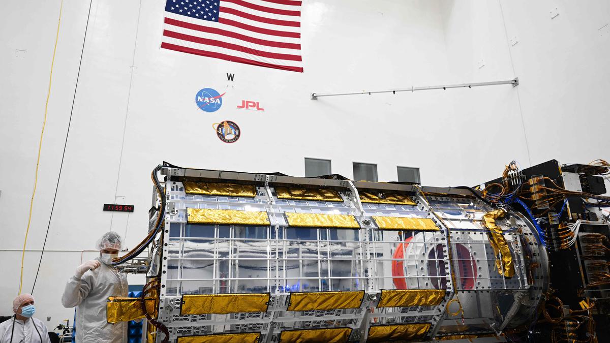
ISRO-NASA built NISAR satellite ready to be shipped to India for launch
The Hindu
Isro’s NISAR to be first satellite to enable earth observation in 2 frequencies
Hindustan Times
ISRO, MapmyIndia team up to take on Google Maps/Earth
India TV News
Uttarakhand disaster: ISRO satellite images show epicenter of glacier burst
India TV News)
ISRO Releases First Images of Glacier Burst at Raini, Tapovan as Toll Rises to 32 in Uttarakhand
News 18Discover Related



















)