
Explained: How PSInSAR satellite technique helped detect Joshimath sinking
Deccan ChronicleNEW DELHI: The PSInSAR satellite technique used to observe the gradual sinking of Uttarakhand's Joshimath town is a powerful remote sensing tool capable of measuring and monitoring displacements in the Earth's surface over time. "Since persistent scatterers are not usually expected to move, therefore, any movement, even on a scale of millimetres, arising from crustal deformations or seismic activity or even structural failure is captured precisely," said Tiwari. "While we had been working on the same area but for the study of rock displacement as a result of the flash floods, we thought of applying the PSInSAR technique to study the displacement of buildings over time as well," said Tiwari's then PhD student Akshar Tripathi, who was also involved in the study. "Currently, the displacement figures may even be more and could be analysed in greater detail because every 12 days, more data is being added with successive satellite passes and ground displacement happening steadily," said Tiwari.
History of this topic

Joshimath sank by 5.4 cm in 12 days, says ISRO report
The Hindu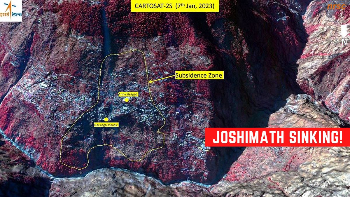
ISRO's BIG WARNING! Satellite images show entire Joshimath town at risk of sinking
India TV News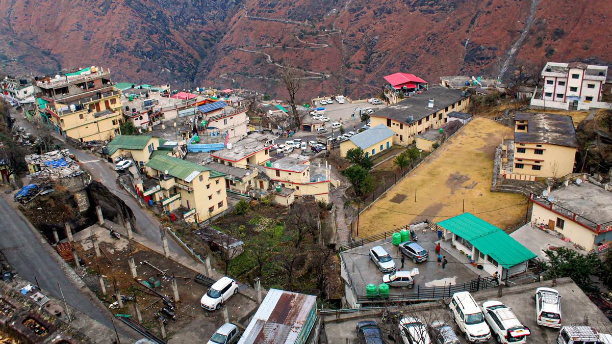
Geophysical scientists from Hyderabad to study land subsidence issue in Joshimath
The HinduDiscover Related











)
