From Gympie to Grafton, see the floods devastation from the air
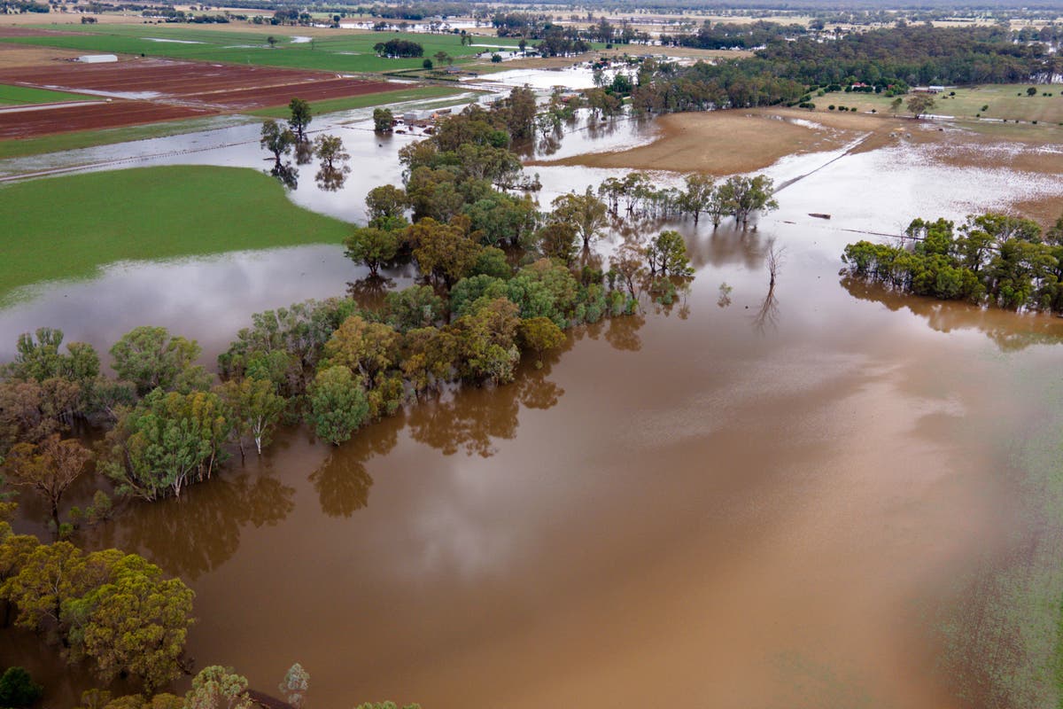
ABCAs local communities along much of the east coast deal with the muddy aftermath of extraordinary rainfall, aerial images begin to show the scale of this disaster. Oxley Creek runs through several of the city's southern suburbs, including Rocklea Authorities say the saturated creeks meant every suburb was affected this time around. Even though the creeks were responsible for much of the damage, the Brisbane River still peaked above the major flood level. Lismore submerged As south-east Queensland surveyed the damage, the northern NSW town of Lismore went under — facing a river peak more than two metres above the previous record set in 1954. As floodwaters recede in South Lismore, cars that were left on a bridge over Wilsons River are still there.
History of this topic
Brisbane and south-east Queensland's weekend of wild weather and flooding, in pictures
ABCDiscover Related


Queensland, NSW floods live updates: Deluge hits northern NSW, Queenslanders wait for waters to recede
ABC